I went looking for the Custom bike shop that I had ended up at last year, when I broke my foot and hobbled into Penticton. I had seen it the day before, but I will be damded if I could find it again. I had wanted to take some pics of the custom Harleys that I remembered from last year, and to also thank the fellows in the shop, who had looked at my broken bike, and offered to help as well. I thought that it would be good to tie that loop off, and thank them while I was standing and not grimacing in pain. Oh well, the dudes with the classy bikes and the tats that have the custom bike shop in Penticton were cool, and I promised them that if won the lotto, I would be back and buy a few bikes from them. The promise still stands....
I headed out of town,and found that the Green Mountain road was directly opposite to the Timmies where I had taken coffee for the last two mornings. I not have a better understanding of how Penticton is laid out. I don't us
ually head down that way when I am in the Okanagan. While I was passing through Oliver, I had a deju vu all over again about a long lost girl friend who I think lived in Oliver, but I am damded if I can remember her name. Sigh...
I headed up the Greeen Mountain road towards Apex mountain. The road is a nice twisty type of ride, and I had a good time gaining altitude and hitting the Ponderosa pines and the open sage country as I climbed towards Apex Mountain resort.
I just had to stop and take a picture of this guy:


I think that this is a Model A Ford. My Dad had a Model A pickup in the late 40's. I would have been only 3 or 4, but I have the distinct memory of crawling into that truck and starting it, as the starter was on the floor. Whether I started it, or just wore out the starter and clutch, I don't remember. Nor do I remember being on the roof and helping Dad with the roofing, although at one time that was a family story. Maybe I fell off. I do remember that it was common knowledge that Georges' cow kicked me when I was two, and maybe that is why I don't like horses...

I kept on climbing, and it became cooler as I climbed up the mountain passed the ski hills onto the Hedly Nickleplate road. I had travelled this road in the opposite direction about three years ago, and the road was wide, as I assumed that it was a haul road for the Nickleplate mine further on.


I rolled into Hedly, and had a great coffee and muffin and did a tour of the town and the museum. The mining history of this little town is phenomenal. Without getting into a rant about the status of resource-based communities in BC, Headly seems to be striving to make something of their little town, and I guess that tourism and a very active museum society makes all the difference in a community. The museum was very interesting and there was a great collection of photographs of the early mines. The museum had a telescope that was trained on the mine workings which were a few thousand feet higher up above the town. The fact that the mine was established on that huge and steep face is interesting in itself. While wandering around the town, I had a good sense of the community, and it appeared to be laid back and rural, which is my kind of town.
While I was chatting with the locals, I noticed on the map that there was a road between Headly and Pemberton that looked like it said "Wills-Smith" Forest Service road. Now this was too much of a coincidence for me not to explore this road, if I could figure out how to get across the Similkameen River.
My grandfather Alfred Wills married my Grandmother, Amy Booth Smith, and I had not seen the combination of names before, so I figured that I needed to check this road out, and try and find out the origin of the name.


I left Hedly and travelled down the highway until I was able to cross the river, and I soon found a road, according to the map, which headed towards the Gold Mountain road, which eventually, according to the BC Mapbook, broke off into the Wills-Smith FSR.
After about an hour and half of travelling on a good gravel road, and and following the mile markers to about kilometer 35, I was beginning to second guess myself. The road was good travelling, with a light sand base, and there was not any mud to speak of. I had made a few turns, taking what I thought was the main road in each case, and paying a bit of attention to my compass. My lessons about having good maps from last weeks' incident hung with me, and I wanted to make sure that I did not go down, as it is a pain in the ass to take all the gear off and wrangle Blondie to a standing position. After another half an hour, I was really beginning to second guess my second guesses: I still had enough fuel, and it was early afternoon. I knew that I was somewhere between the main highway, and the Hope Princeton, and the road looked travelled enough that I thought that it had to come out somewhere. The mystery of the Wills-Smith road was secondary to me getting out of the hills. I was essentially on a plateau, somewhere south of Princeton.
I came to a fork in the road, and the mystery of the Wills-Smith road was solved. Someone did not know how to spell Wills:

With that, I looked more closely at the BC Mapwook, and the errant "i" became more clear. I was somewhat relieved to find this road, as Smith had somehow got lost in the translation of time and forks in the road. I felt confident that I was on the right track, and as the kilometer signs started down sizing from 38, I realized that I was not heading off the plateau, and that I would eventually come out somewhere.

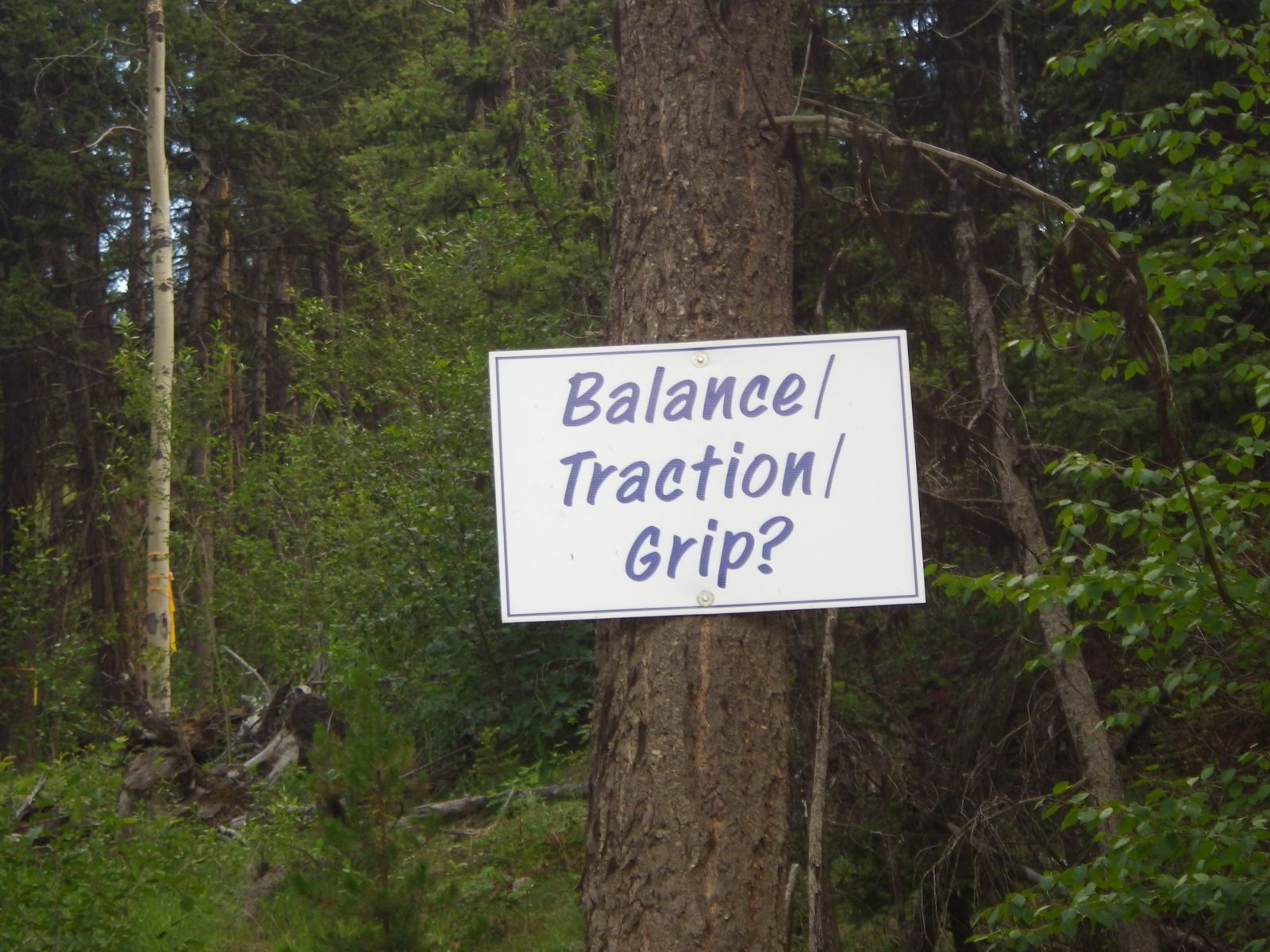
I think that these signs are up there as encouragement for the logging truck drivers, but the message fit this rider too. I soon came to what I learned was the Copper Mountain road, and I could see a mine off to my right. I think that is the mine that we pass when we head up the Hope-Princeton highway. I followed a couple of mine trucks into Princeton and celebrated with a root beer.
No comments:
Post a Comment
Note: Only a member of this blog may post a comment.